Choice Made Simple!
Too many options?Click below to purchase an online gift card that can be used at participating retailers in Village Green Shopping Centre and continue your shopping IN CENTRE!Purchase HereHome
Edinburgh A-Z Street Atlas by A-z Maps, Perfect | Indigo Chapters
Coles
Loading Inventory...
Edinburgh A-Z Street Atlas by A-z Maps, Perfect | Indigo Chapters in Vernon, BC
By A-z Maps
Current price: $17.99
Coles
Edinburgh A-Z Street Atlas by A-z Maps, Perfect | Indigo Chapters in Vernon, BC
By A-z Maps
Current price: $17.99
Loading Inventory...
Size: 10 x 215 x 130
*Product information may vary - to confirm product availability, pricing, shipping and return information please contact Coles
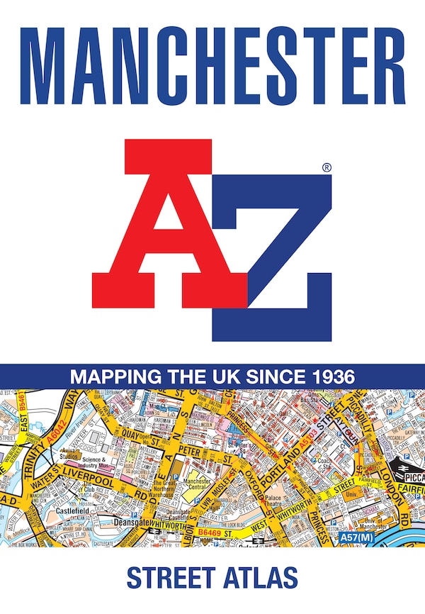
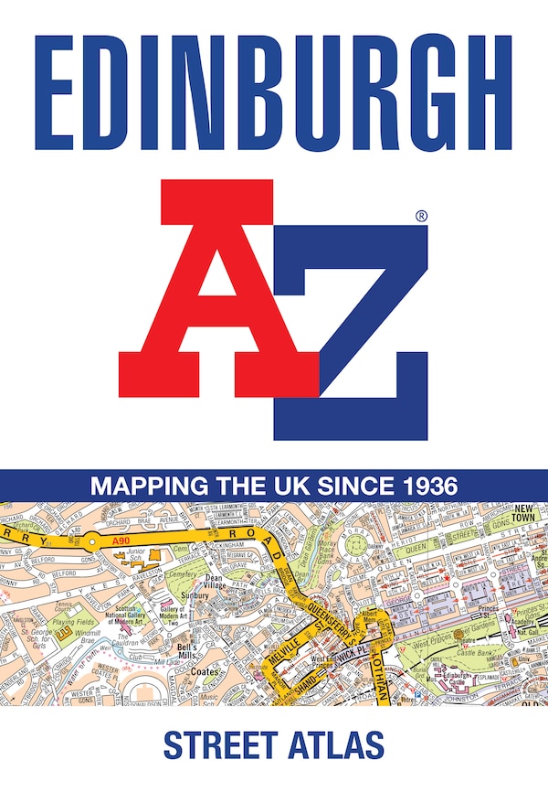
Navigate your way around Edinburgh with this detailed and easy-to-use A-Z Street Atlas. Printed in full-colour, paperback format, this atlas contains 45 pages of continuous street mapping. The main mapping extends beyond central Edinburgh at a scale of 3.33 inches to 1 mile, featuring postcode districts, one-way streets, park and ride sites, and safety camera locations. Areas covered include:South QueensferryLeithPrestonpansTranentMusselburghDalkeithBonnyriggLoanheadGorebridgePenicuikBalernoEdinburgh AirportThe large-scale street map of Edinburgh city centre – at a scale of 6.67 inches to 1 mile – includes:Places of Interest Guide, highlighting the city’s major tourist attractions and world-famous Edinburgh FestivalPostcode map of the Edinburgh areaRoad map of the Edinburgh areaDiagrammatic map of rail and tram connectionsA comprehensive index lists streets, selected flats, walkways and places of interest, place, area and station names. Additional healthcare (hospitals, walk-in centres and hospices) and transport connections (Edinburgh Tramway stops) are indexed as well. | Edinburgh A-Z Street Atlas by A-z Maps, Perfect | Indigo Chapters
Navigate your way around Edinburgh with this detailed and easy-to-use A-Z Street Atlas. Printed in full-colour, paperback format, this atlas contains 45 pages of continuous street mapping. The main mapping extends beyond central Edinburgh at a scale of 3.33 inches to 1 mile, featuring postcode districts, one-way streets, park and ride sites, and safety camera locations. Areas covered include:South QueensferryLeithPrestonpansTranentMusselburghDalkeithBonnyriggLoanheadGorebridgePenicuikBalernoEdinburgh AirportThe large-scale street map of Edinburgh city centre – at a scale of 6.67 inches to 1 mile – includes:Places of Interest Guide, highlighting the city’s major tourist attractions and world-famous Edinburgh FestivalPostcode map of the Edinburgh areaRoad map of the Edinburgh areaDiagrammatic map of rail and tram connectionsA comprehensive index lists streets, selected flats, walkways and places of interest, place, area and station names. Additional healthcare (hospitals, walk-in centres and hospices) and transport connections (Edinburgh Tramway stops) are indexed as well. | Edinburgh A-Z Street Atlas by A-z Maps, Perfect | Indigo Chapters