Choice Made Simple!
Too many options?Click below to purchase an online gift card that can be used at participating retailers in Village Green Shopping Centre and continue your shopping IN CENTRE!Purchase HereHome
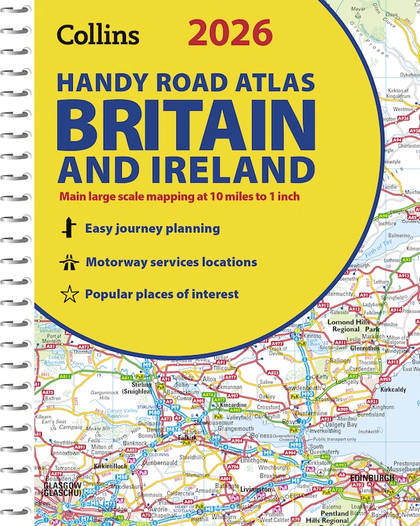
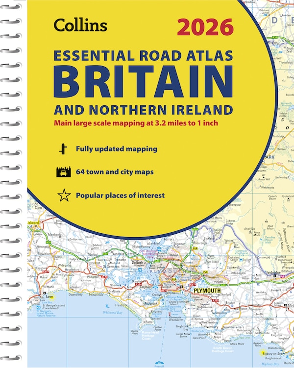
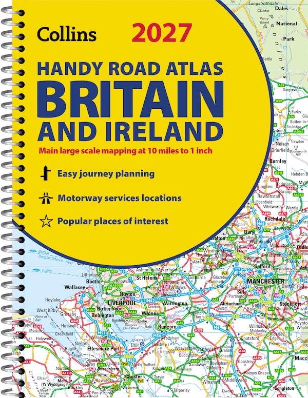
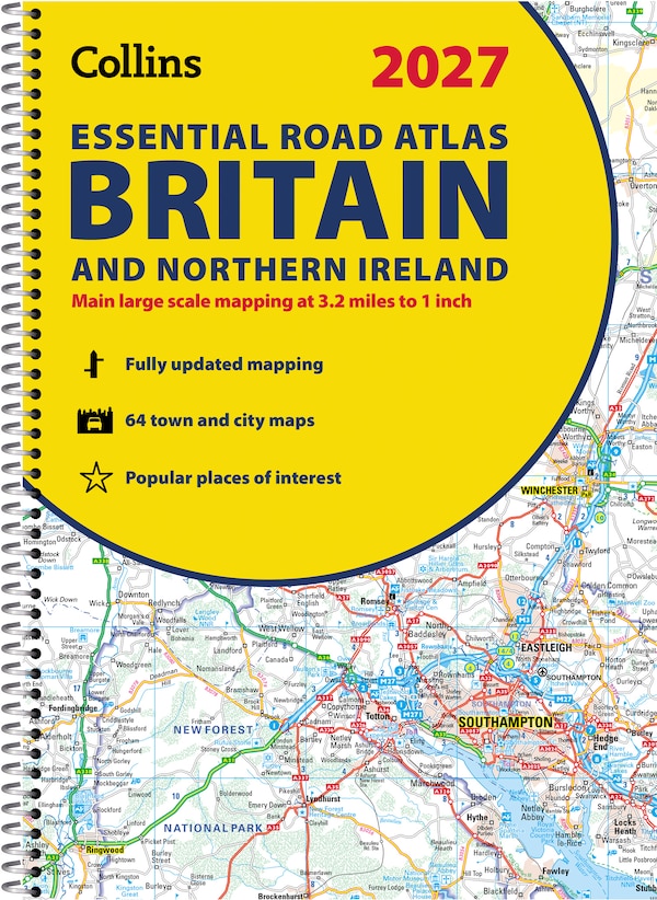
Comprehensive Road Atlas Ireland by Collins Maps, Spiral Bound | Indigo Chapters
Coles
Loading Inventory...
Comprehensive Road Atlas Ireland by Collins Maps, Spiral Bound | Indigo Chapters in Vernon, BC
From Collins Maps
Current price: $17.99
Coles
Comprehensive Road Atlas Ireland by Collins Maps, Spiral Bound | Indigo Chapters in Vernon, BC
From Collins Maps
Current price: $17.99
Loading Inventory...
Size: 8 x 297 x 500
*Product information may vary - to confirm product availability, pricing, shipping and return information please contact Coles
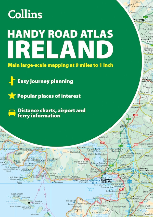
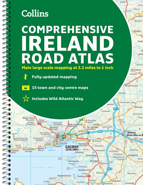
Clear, detailed road atlas of Ireland in a handy A4 spiral-bound format. This comprehensive, general purpose road atlas is ideal for both business and pleasure. Highlights include:Clear mapping at a scale of 3.2 miles to 1 inch, which is useful for navigationAn additional 9 miles to 1 inch route planning mapPlaces of interest section with information and photographsA range of fully indexed town and city centre maps, including: Bangor, Belfast, Cork, Dublin, Limerick, Lisburn, Londonderry (Derry) and NewtownabbeyThis updated edition boasts road mapping packed with detail. There is a colour classified road network that also shows toll roads. Blue Flag and Green Coast beaches are shown along with tourist information centres and a wide range of tourist attractions. There is also comprehensive information for visitors to Belfast, Cork, Dublin and Limerick. The perfect companion for anyone visiting Ireland. | Comprehensive Road Atlas Ireland by Collins Maps, Spiral Bound | Indigo Chapters
Clear, detailed road atlas of Ireland in a handy A4 spiral-bound format. This comprehensive, general purpose road atlas is ideal for both business and pleasure. Highlights include:Clear mapping at a scale of 3.2 miles to 1 inch, which is useful for navigationAn additional 9 miles to 1 inch route planning mapPlaces of interest section with information and photographsA range of fully indexed town and city centre maps, including: Bangor, Belfast, Cork, Dublin, Limerick, Lisburn, Londonderry (Derry) and NewtownabbeyThis updated edition boasts road mapping packed with detail. There is a colour classified road network that also shows toll roads. Blue Flag and Green Coast beaches are shown along with tourist information centres and a wide range of tourist attractions. There is also comprehensive information for visitors to Belfast, Cork, Dublin and Limerick. The perfect companion for anyone visiting Ireland. | Comprehensive Road Atlas Ireland by Collins Maps, Spiral Bound | Indigo Chapters