Home
Atlas Of The Normandy Campaign by Michael Bechthold, Hardcover | Indigo Chapters
Loading Inventory...
Coles
Atlas Of The Normandy Campaign by Michael Bechthold, Hardcover | Indigo Chapters
From Michael Bechthold
Current price: $73.50

Coles
Atlas Of The Normandy Campaign by Michael Bechthold, Hardcover | Indigo Chapters
From Michael Bechthold
Current price: $73.50
Loading Inventory...
Size: 1 x 11 x 1
*Product information may vary - to confirm product availability, pricing, shipping and return information please contact Coles
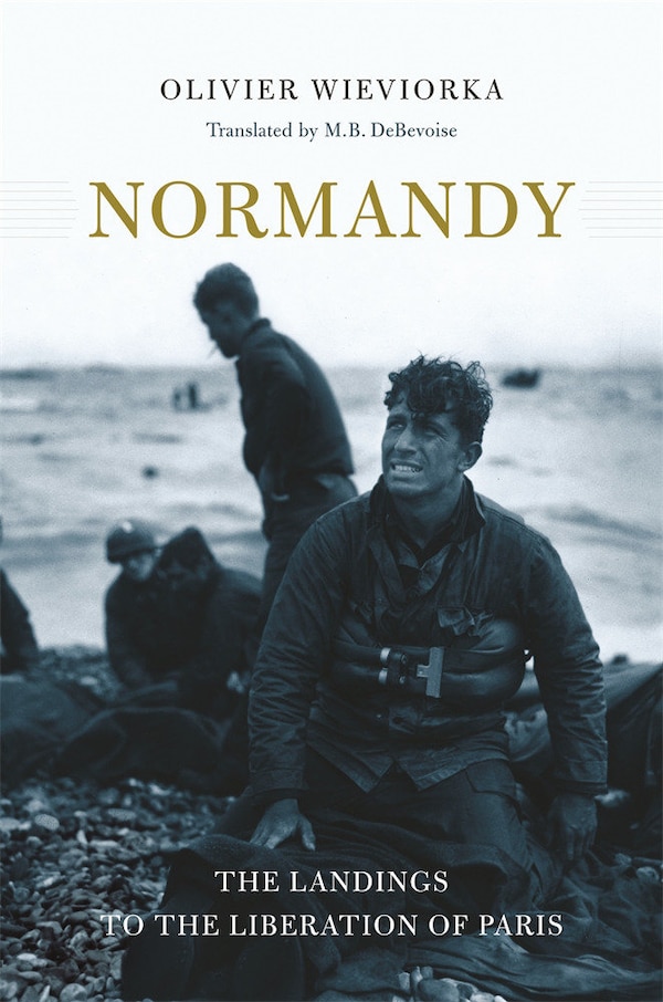
Viewing the battlefield from the air dates back to the American Civil War when balloons allowed observation from above. The technique was refined and improved over the Western Front between 1914 and 1918 with the introduction of cameras but aerial reconnaissance really came into its own during the Second World War. Detailed and comprehensive aerial photography provided intelligence that was vital to the prosecution of the war. It eliminated some of the guess work from operational planning and facilitated accurate battle-damage assessments. This imagery was absolutely crucial during the war, and it remains a valuable resource to the historian today. D-Day and the Battle of Normandy changed the course of the Second World War. The Allies planned long and hard for their return to France. Victory hastened the end of Hitler's Third Reich, but just as surely, defeat would have prolonged the war immeasurably. What we know of those battles today comes from those who were there and the records they created. Snapshots and film provide glimpses of the past but the photographers' view was limited and he was rarely at the point of the action. Time travel is a science fiction favorite but not possible in reality. We can, however, raise the curtain of time through the use of aerial photographs and maps. At their most basic, they show the topography and terrain at the time of a battle. As well, the imagery can be used to reconstruct a battle by showing enemy defenses, tank tracks, and destroyed vehicles which can tell us a great deal. Under ideal condition, the interpretation of air photos with accompanying maps can provide stunning revelations which change our understanding of the past. This book will expand our understanding of the Normandy campaign through a detailed study of dozens of contemporary aerial photographs and topographic maps used during the war as well as a large number of custom-drawn maps which are essential to understanding the battles under consideration. Some of the images in this book were taken prior to the fighting and will allow us to understand the challenges facing the Allies. Many of the images were taken during operations providing us a glimpse of combat as it transpired. Others were taken in the immediate aftermath of combat and allow us to piece together what has happened. The majority of the images have never been published. Each air photo and map is accompanied by a detailed description. | Atlas Of The Normandy Campaign by Michael Bechthold, Hardcover | Indigo Chapters