Village Green Shopping Centre | Vernon's Premier Shopping Destination
Choice Made Simple!
Too many options?Click below to purchase an online gift card that can be used at participating retailers in Village Green Shopping Centre and continue your shopping IN CENTRE!Purchase Here
Home
Coles
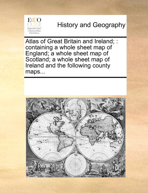
Atlas of Great Britain and Ireland; by Multiple Contributors, Paperback | Indigo Chapters
Unfortunately, this item is no longer available, but we found some similar items you might like.