

Choice Made Simple!
Too many options?Click below to purchase an online gift card that can be used at participating retailers in Village Green Shopping Centre and continue your shopping IN CENTRE!Purchase HereHome
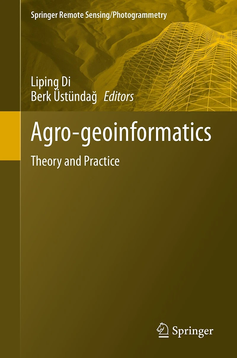
Agro-geoinformatics: Theory And Practice
Coles
Loading Inventory...
Agro-geoinformatics: Theory And Practice in Vernon, BC
By None
Current price: $291.95
Coles
Agro-geoinformatics: Theory And Practice in Vernon, BC
By None
Current price: $291.95
Loading Inventory...
Size: Hardcover
*Product information may vary - to confirm product availability, pricing, shipping and return information please contact Coles
This volume collects and presents the fundamentals, tools, and processes of utilizing geospatial information technologies to process remotely sensed data for use in agricultural monitoring and management. The issues related to handling digital agro-geoinformation, such as collecting (including field visits and remote sensing), processing, storing, archiving, preservation, retrieving, transmitting, accessing, visualization, analyzing, synthesizing, presenting, and disseminating agro-geoinformation have never before been systematically documented in one volume. The book is edited by International Conference on Agro-Geoinformatics organizers Dr. Liping Di (George Mason University), who coined the term "Agro-Geoinformatics" in 2012, and Dr. Berk ÜstündaÄ (Istanbul Technical University) and are uniquely positioned to curate and edit this foundational text.
The book is composed of eighteen chapters that can each stand alone but also build on each other to give the reader a comprehensive understanding of agro-geoinformatics and what the tools and processes that compose the field can accomplish. Topics covered include land parcel identification, image processing in agricultural observation systems, databasing and managing agricultural data, crop status monitoring, moisture and evapotranspiration assessment, flood damage monitoring, agricultural decision support systems and more.
This volume collects and presents the fundamentals, tools, and processes of utilizing geospatial information technologies to process remotely sensed data for use in agricultural monitoring and management. The issues related to handling digital agro-geoinformation, such as collecting (including field visits and remote sensing), processing, storing, archiving, preservation, retrieving, transmitting, accessing, visualization, analyzing, synthesizing, presenting, and disseminating agro-geoinformation have never before been systematically documented in one volume. The book is edited by International Conference on Agro-Geoinformatics organizers Dr. Liping Di (George Mason University), who coined the term "Agro-Geoinformatics" in 2012, and Dr. Berk ÜstündaÄ (Istanbul Technical University) and are uniquely positioned to curate and edit this foundational text.
The book is composed of eighteen chapters that can each stand alone but also build on each other to give the reader a comprehensive understanding of agro-geoinformatics and what the tools and processes that compose the field can accomplish. Topics covered include land parcel identification, image processing in agricultural observation systems, databasing and managing agricultural data, crop status monitoring, moisture and evapotranspiration assessment, flood damage monitoring, agricultural decision support systems and more.
You May Also Like













More About Coles at Village Green Shopping Centre
Find everything in-store including new, used and children’s books, music, movies, games and toys. Visit Coles today to find the perfect gift, or a novel for yourself. COVID-19 UPDATE: Open | Regular Centre Hours
Store Info
Find Coles at Village Green Shopping Centre in Vernon, BC
Visit Coles at Village Green Shopping Centre in Vernon, BC